Posty z #Dataplotly

#Dataplotly

Publiczne posty w X, które używają #Dataplotly.

Powiązane hashtagi

  1. Geoinnova@GeoInnovaASL
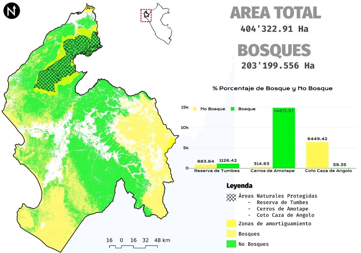
    📊 ¿Conoces DataPlotly? Este complemento de #QGIS permite crear gráficos interactivos directamente a partir de los atributos de tus capas, sin necesidad de exportar los datos a otras herramientas. #DataPlotly #GIS #SIG #Geospatial #QGISPlugin
    0617771
  2. Grupo de Usuarios QGIS Colombia@qgiscolombia
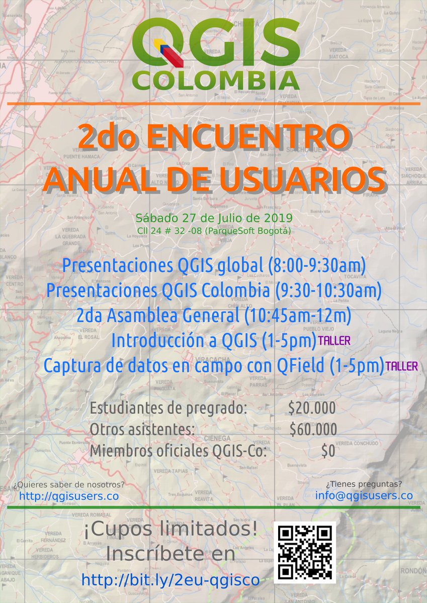
    ¡Te invitamos al "2do Encuentro Anual de Usuarios #QGIS Colombia"! Es el sábado 27 de Julio en Bogotá, 🇨🇴. FORMULARIO DE INSCRIPCIÓN: Los cupos son limitados, ¡lo demás es libre! 😉
    Pobierz
    11112
  3. Grupo de Usuarios QGIS Colombia@qgiscolombia
    @qgiscolombia
    @qgis Este sábado también nos acompañará uno de los desarrolladores más activos de #QGIS en los últimos años, uno de los padres de #QField y fundador de empresa dedicada al desarrollo de soluciones sobre QGIS. ¿Quieres conocer de QGIS a nivel empresarial?
    Pobierz
    136
  4. Grupo de Usuarios QGIS Colombia@qgiscolombia
    @qgiscolombia
    @qgis ¿Conoces el plugin #DataPlotly para hacer gráficos interactivos en #QGIS? 📊 ¿Quieres producir cartografía (salidas gráficas) en QGIS visualizando también tus datos alfanuméricos?🗺️ ¡Mañana sábado nos acompañará su autor, nos explicará cómo funciona y cómo se usa Data Plotly!👍
    Pobierz
    168
  5. Faunalia@FaunaliaGIS
    New #DataPlotly release for #QGIS. DataPlotly habla español! Gracias a Luca Bellani!
    034
  6. Gis3w@_Gis3W_
    #G3WSUITE 3.2 is out! Discover all the new features in the changelog! Interactive plots from #DataPlotly, editing and visualization constraints, feature select and filters, atlas support, new editing tools ... and much more! #QGIS
    Pobierz
    0521
  7. Gis3w@_Gis3W_
    #G3WSUITE 3.2 is coming! Great news about #DataPlotly plugin integration! Activate charts and make them dynamic with filters based on map content
    Pobierz
    01846
  8. Gis3w@_Gis3W_
    #G3WSUITE 3.1 is out! Discover all the new features of the suite! Publish and manage WebGis and cartographic management application from your #QGIS projects. Charts from #DataPlotly plugin, atlas support, new editing tools and features ... and much more!
    Pobierz
    022
  9. Gis3w@_Gis3W_
    #G3WSUITE version 3.1 will be released on November 18th! Many new features: greater integration with the #QGIS API, visualization of graphics created with #DataPlotly plugin, printing of atlas, new online editing tools ... and much more ...
    Pobierz
    023
  10. Pokaż więcej postów