Posts with #DataPlotly

#DataPlotly

Public posts on X that use #DataPlotly.

Related hashtags

  1. Geoinnova@GeoInnovaASL
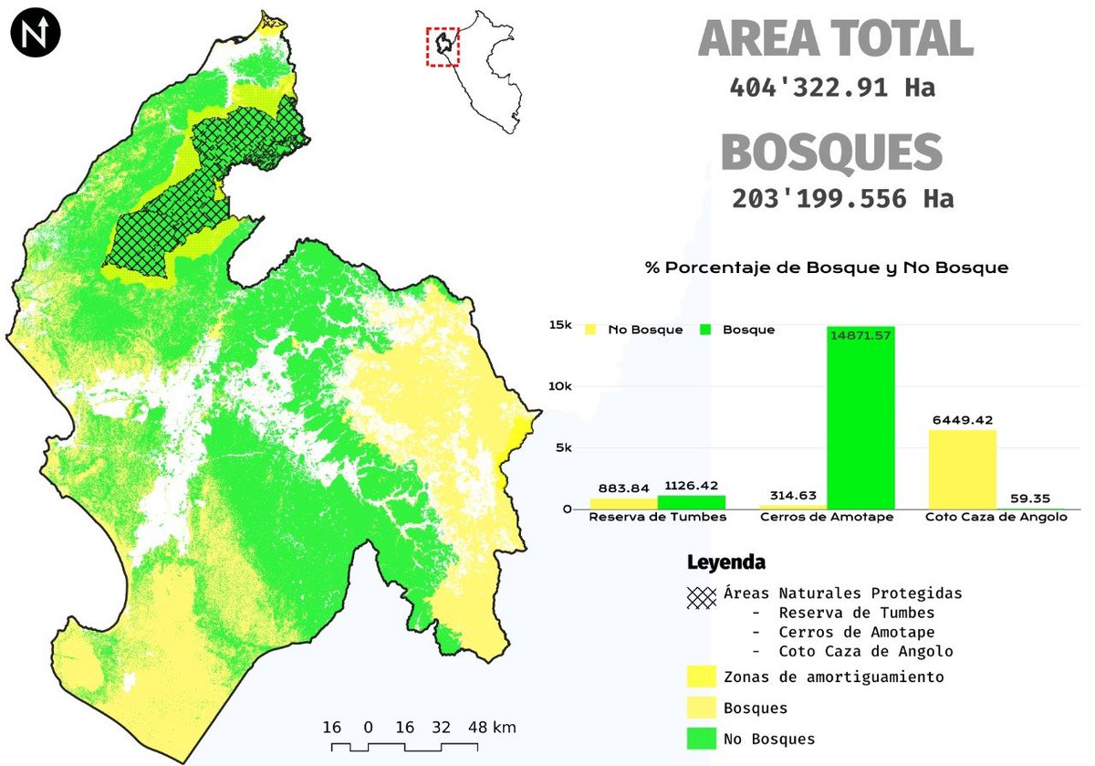
    📊 ¿Conoces DataPlotly? Este complemento de #QGIS permite crear gráficos interactivos directamente a partir de los atributos de tus capas, sin necesidad de exportar los datos a otras herramientas. #DataPlotly #GIS #SIG #Geospatial #QGISPlugin
    0617771
  2. Gis3w@_Gis3W_
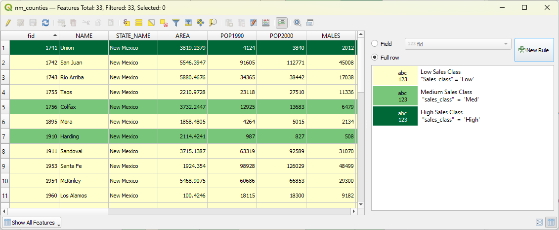
    #G3WSUITE version 3.1 will be released on November 18th! Many new features: greater integration with the #QGIS API, visualization of graphics created with #DataPlotly plugin, printing of atlas, new online editing tools ... and much more ...
    Download
    023
  3. Jarllyn@alencarino_
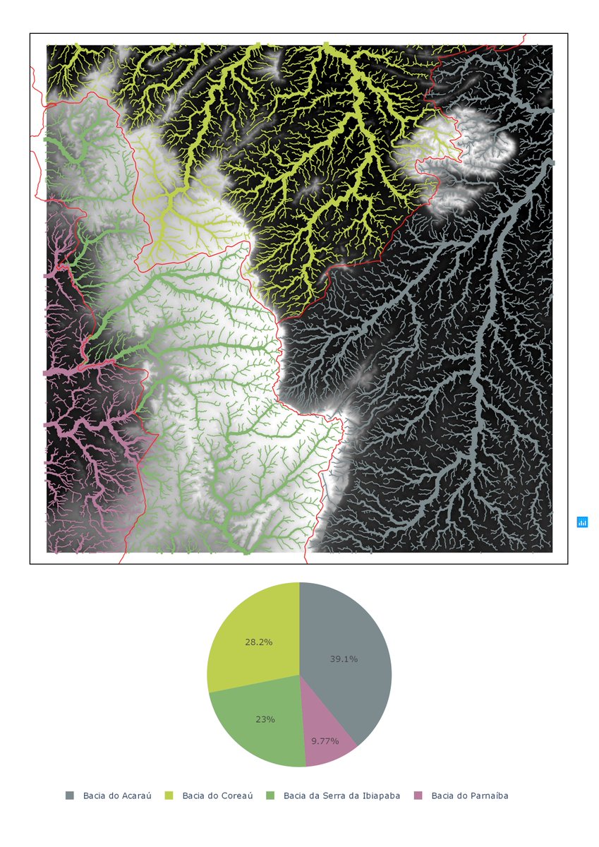
    Loyout tá simples mas o importante é ressaltar consegui fazer o gráfico pelo #DataPlotly no @qgis com as mesmas cores das feições de referencia. A drenagem tá dividida considerando a bacia e a classificação de strahler
    Download
    5011
  4. Gis3w@_Gis3W_
    #G3WSUITE 3.1 is out! Discover all the new features of the suite! Publish and manage WebGis and cartographic management application from your #QGIS projects. Charts from #DataPlotly plugin, atlas support, new editing tools and features ... and much more!
    Download
    022
  5. Show more posts