USGS Astrogeology✓

@USGS_AstroGeo

Science for a changing Universe 🚀🛰 Tweets do not = endorsement.

82 Following2.7K Followers1.5K Posts
  1. USGS Astrogeology✓@USGS_AstroGeo
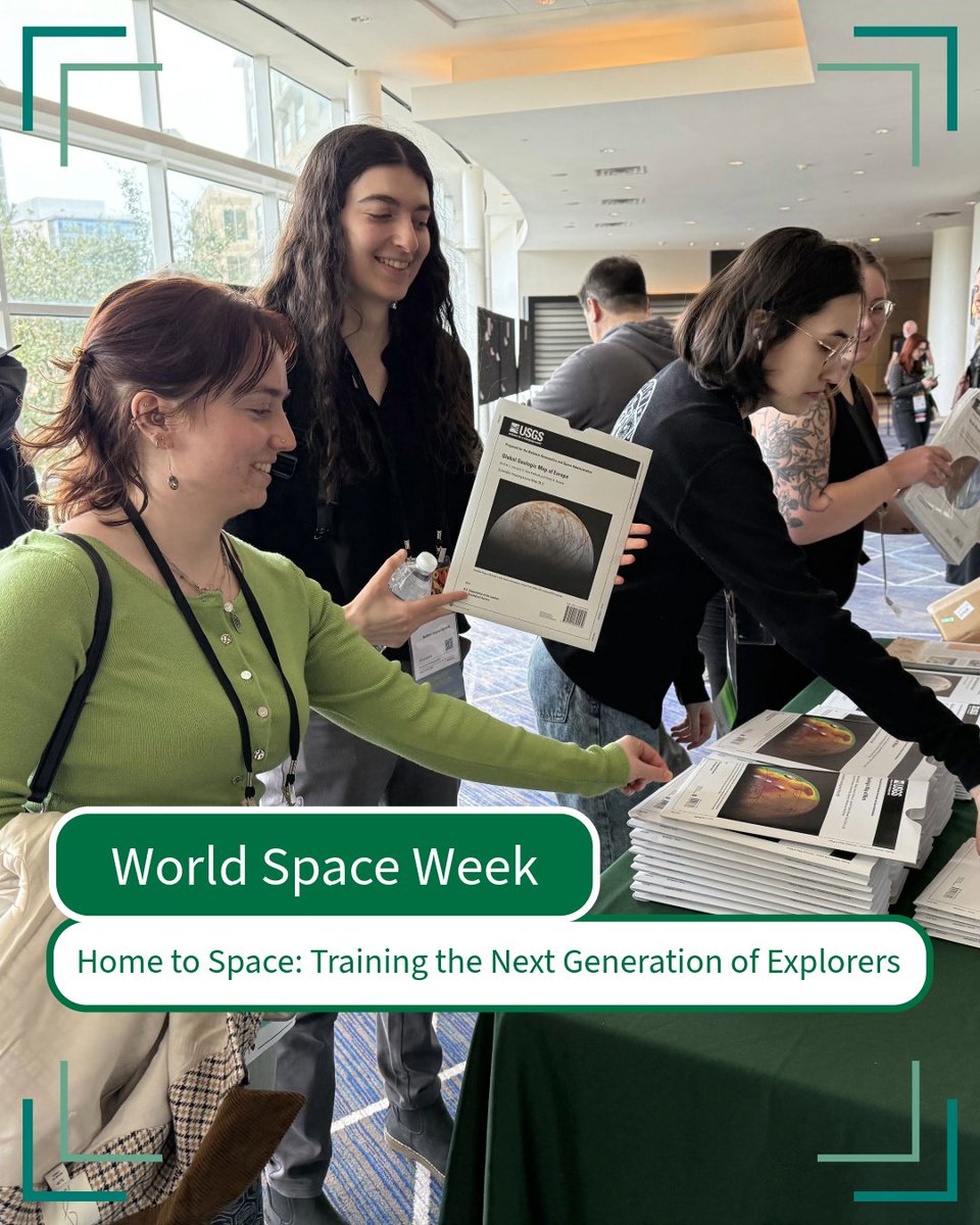
    Space exploration starts right here on Earth. USGS Astrogeology has a long tradition of preparing explorers. From Apollo era astronaut geology training at the Cinder Lake Crater Field to today’s hands on demonstrations that spark curiosity in the next generation. Our outreach programs connect students, visitors, and early career scientists with real planetary science tools, helping build future mission leaders one experience at a time. 📸1: Astrogeologists Amber Gullikson and Rachel Fry getting started for an “Impactful” day at Asteroid Day, a community event to raise awareness about asteroids and their potential “impacts!” 📸2: Attendees at the Lunar and Planetary Science Conference take maps and handouts from the USGS booth, a fan favorite! 📸3: USGS-led astronaut candidate training at Meteor Crater in Arizona #STEMinSpace #WorldSpaceWeek
    Download
    012135
  2. USGS Astrogeology✓@USGS_AstroGeo
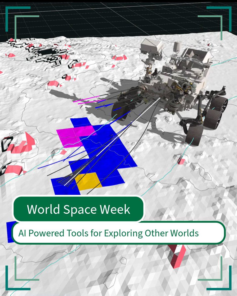
    Could AI be implemented on other planetary bodies to help space exploration? What if we told you it has already been! USGS Astrogeology collaborates with NASA and federal and commercial partners to refine AI- and machine-learning-enabled instruments that can help make decisions faster. From helping rovers navigate easier on faraway worlds to finding anomalies in the rocks, AI has been researched for over a decade in space applications. Faster decisions mean fewer costly delays and safer missions, technology that's also shaping how we analyze hazards and remote landscapes back home. 📸NASA Perseverance rover uses an Autonomous Navigation System, AutoNav, to identify hazards in its path, in this case a rock. #SpaceTechnology #WorldSpaceWeek
    Download
    004271
  3. USGS Astrogeology✓@USGS_AstroGeo
    Ice on Mars isn't just fascinating; it’s key for future exploration. An ice-filled crater makes Martian water easy to see. Ice beneath the surface is harder to locate. USGS Astrogeology produces the most detailed inventories of Martian water ice to date. By combining several kinds of spacecraft data to map where buried ice is most likely located, researchers are better able to study how Mars has changed over time and guide long term planning for human missions, resource use, and scientific discovery. 📸Korolev crater on Mars, showing an ice deposit discovered by Mars Express in 2018. #MarsScience #WorldSpaceWeek
    Download
    002132
  4. USGS Astrogeology✓@USGS_AstroGeo
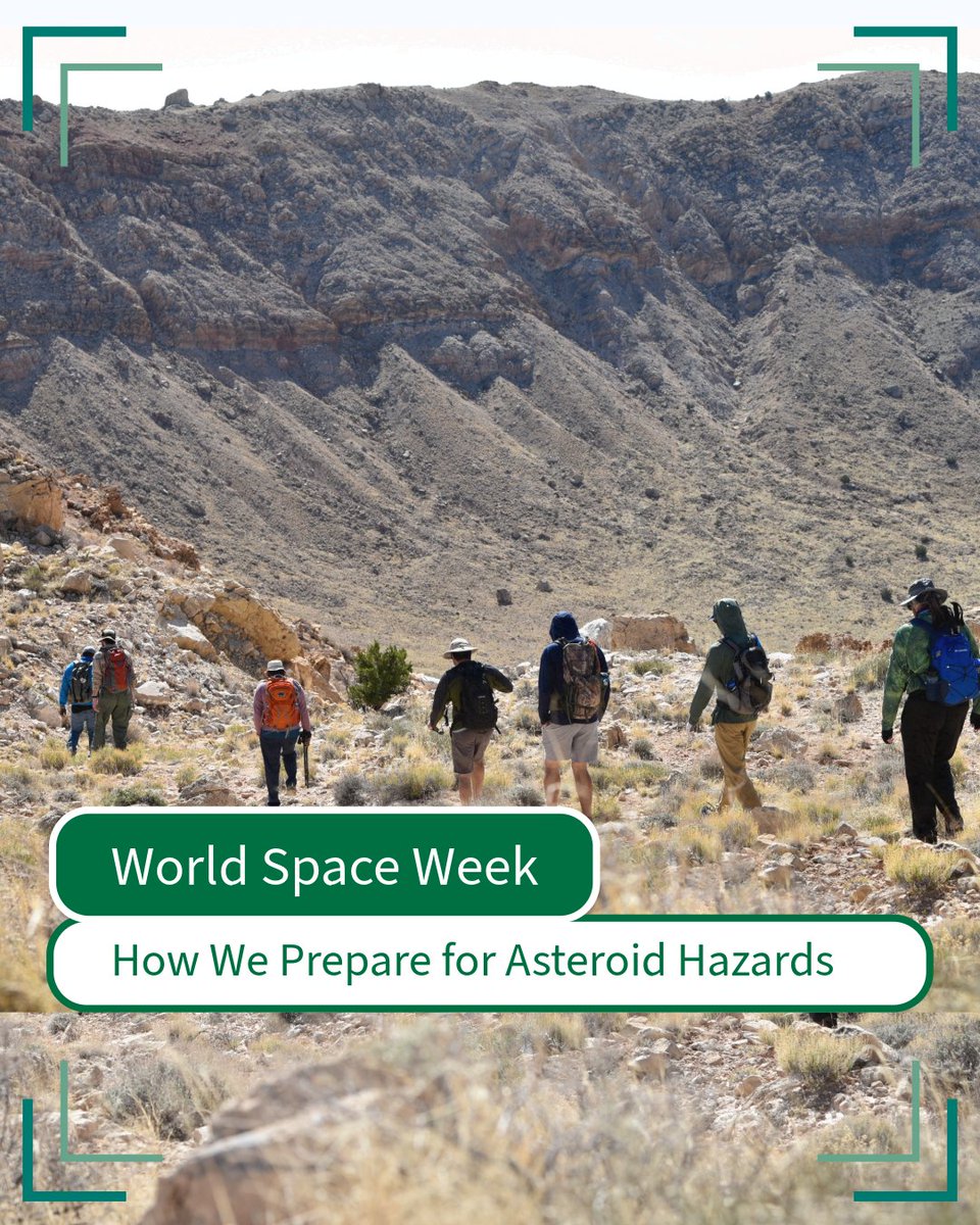
    The impacts of an asteroid strike wouldn’t end when the dust settles. What could happen next? Meteor Crater is a reminder that asteroid impacts can, and do, affect Earth. The first damage may come from the impact itself, but hazards such as flooding and debris flows could continue afterward or reach communities farther away. What does USGS have to do with asteroids? More than you might think. USGS Astrogeology contributes essential hazard modeling data and interagency planning for planetary defense. From information exchange with NASA and FEMA to developing tools that characterize potential threats and ongoing hazards from an asteroid impact, our work ensures the Nation is ready, long before an asteroid ever appears in the sky. 📸Photo from Astrogeology excursion into Meteor Crater, descending into the 1.2-kilometer bowl of the impact structure. #PlanetaryDefense #WorldSpaceWeek #AsteroidImpact
    Download
    002135
  5. USGS Astrogeology✓@USGS_AstroGeo
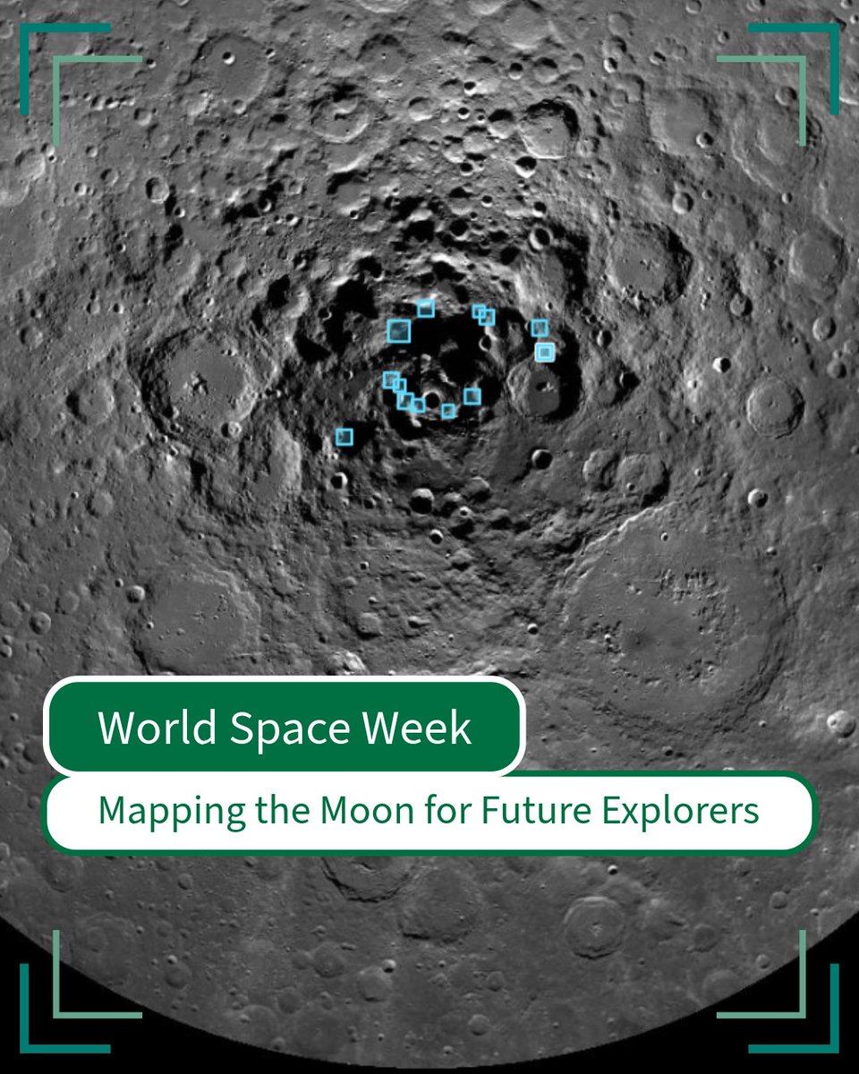
    Exploring other worlds starts with knowing where to step. Before an astronaut sets foot on the Moon or a rover touches down on Mars, mission teams need to understand what may lie ahead. USGS Astrogeology creates high-precision maps that guide mission planners, engineers, and even astronauts to safe landing sites and interesting science targets. Our thermophysical, photogrammetric, and geologic products help identify and characterize safe landing sites, find future resources, and investigate areas of scientific interest, supporting Artemis and the next era of human exploration. Mapping other worlds helps make exploration safer and more purposeful. The same expertise that keeps explorers safe on the Moon also keeps us prepared here on Earth. Join us this week as we explore how USGS science bridges other worlds and our own. 📸Image of the lunar south pole with potential Artemis landing sites highlighted as of 2022. #WorldSpaceWeek #LunarMapping #Perseverence
    Download
    019205
  6. USGS Astrogeology✓@USGS_AstroGeo
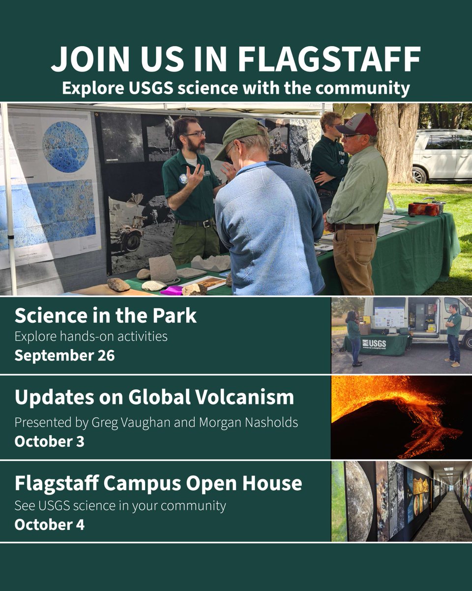
    From Mars rovers to volcanoes, USGS scientists in Flagstaff are bringing their science to the community. 🚀🌋 As part of the annual Flagstaff Festival of Science, USGS Astrogeology and other USGS science centers in Flagstaff are inviting the community to explore space, planets and Earth science through hands-on activities, talks and an open house at the USGS Flagstaff Science Campus. Perfect for curious minds of all ages! Here’s where you can find us: 🚀 Snook’s Science in the Park 📅 September 26, 10 a.m.–2 p.m. 📍 Wheeler Park, Flagstaff, Arizona 🌋 Volcanoes Update talk 📅 October 3, 5 p.m. 📍 USGS Flagstaff Science Campus, Building 6 2255 N Gemini Drive, Flagstaff 🛰️ USGS Open House 📅 October 4, 11 a.m.–3 p.m. 📍 USGS Flagstaff Science Campus, Building 6 2255 N Gemini Drive, Flagstaff Hope to see you there! 📸: Photos from various events during the Festival of Science (titles and locations described in this post). #FlagstaffFestivalOfScience #USGSAstrogeology
    Download
    001127
  7. USGS Astrogeology✓@USGS_AstroGeo
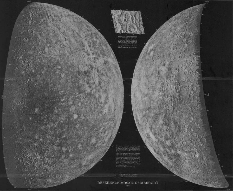
    On this day in 1974, the Mariner-10 spacecraft made its closest approach to Mercury, providing a new view of the innermost planet. Mariner-10 was the first spacecraft to visit Mercury and the first to fly by multiple planets. Its images gave scientists new views of Mercury's surface, and USGS Astrogeology helped turn those observations into maps. Astrogeology produced maps showing Mercury's relief and surface markings using data from the Mariner-10 mission, including this 1979 map available through the USGS Publications Warehouse: #Mariner10 #OnThisDay
    Download
    1318697
  8. USGS Astrogeology✓@USGS_AstroGeo
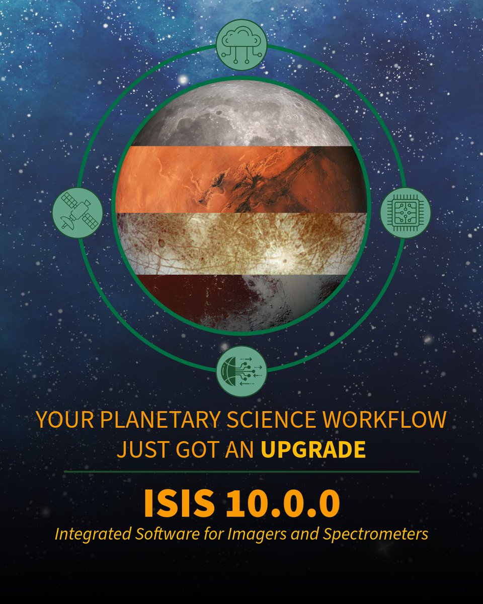
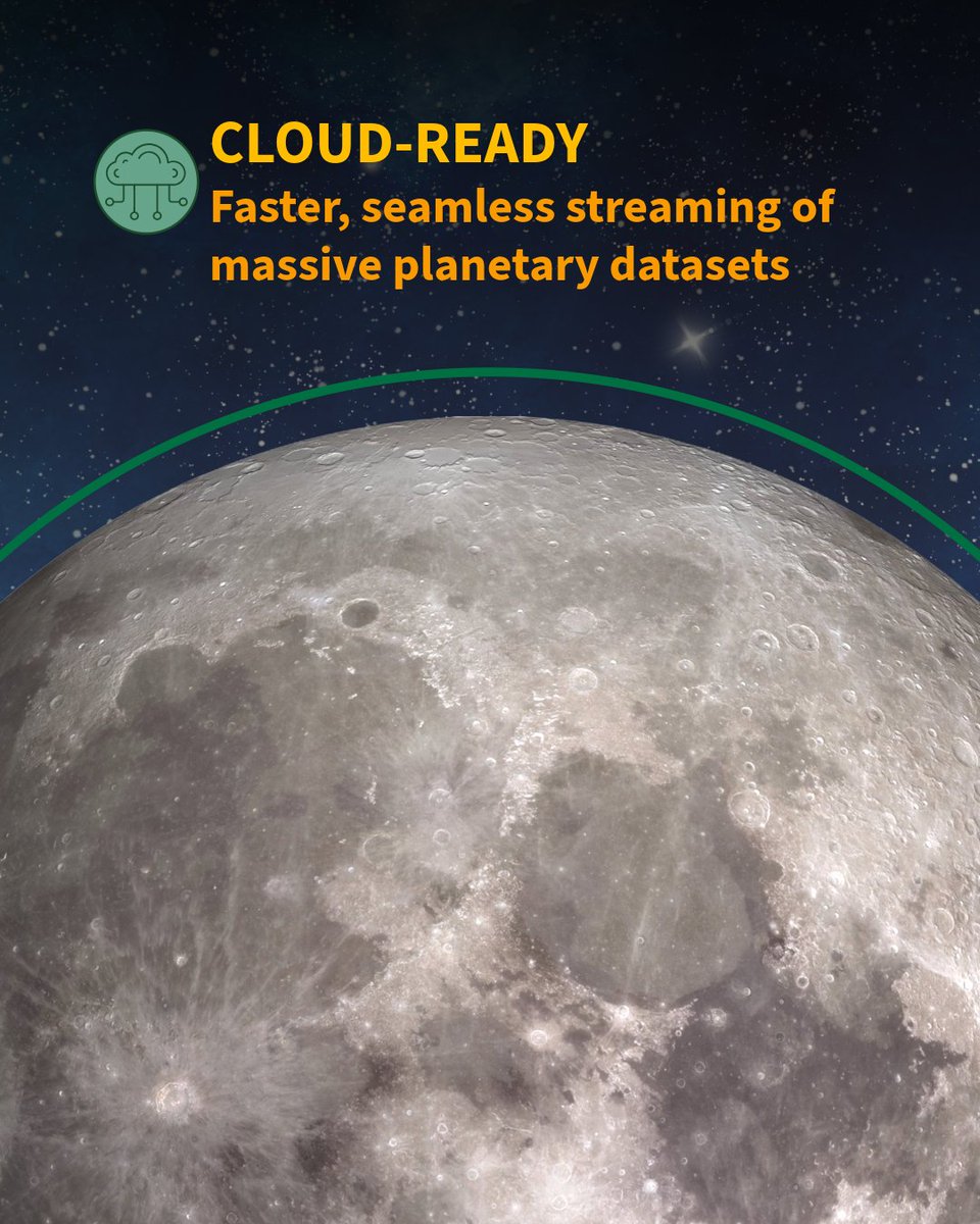
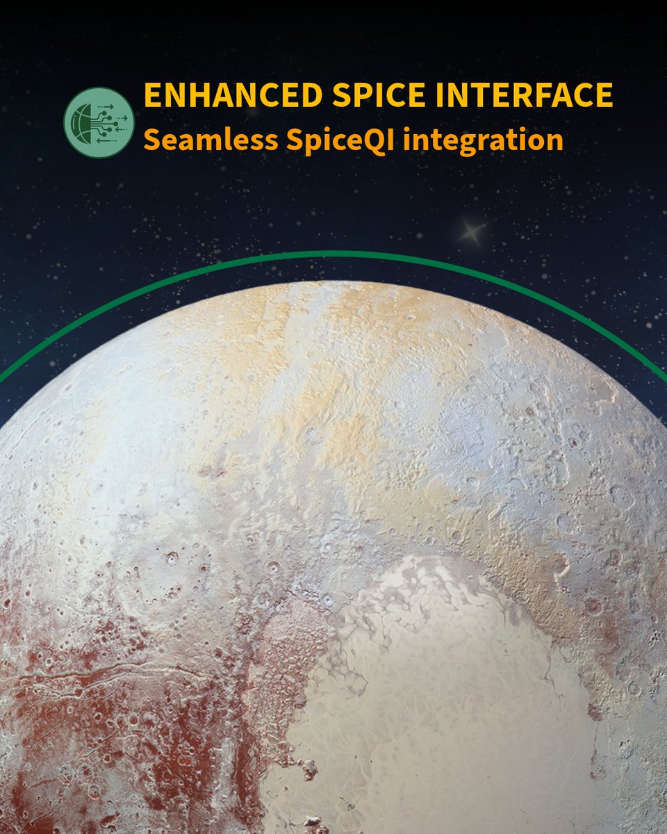
    We're making your planetary science work easier with improved workflow integration! The Imaging Software for Imagers and Spectrometers has been used for decades to support planetary data and image processing and we're ready to unveil the next generation of support: 🛰️Cloud-optimized data support: Enables faster, seamless streaming of massive planetary datasets directly from cloud storage, eliminating the need for heavy local file downloads. 🛰️Modernized interface for seamless integration: Features a clean, updated user interface and streamlined backend connectivity for a smoother experience across your tools. 🛰️New support for Chandrayaan-2 cameras: Introduces compatibility for processing data from India's lunar orbiter, specifically targeting the Terrain Mapping Camera-2 (TMC2) and the Orbiter High Resolution Camera (OHRC). 🛰️Modern architecture to meet you at your operating system: Built from the ground up to run natively across modern environments, providing native binary support for both Linux and Mac setups. Find the new release, trainings, tools, and tutorials at this link: 📸1: Collage of planets and moons in the center with icons on the outside representing major updates to the next major version release of the software. 📸2: Earth's moon with text at the top describing "Cloud-ready" architecture 📸3: Mars with text at the top describing expanded support for operating systems 📸4: Pluto with text at the top describing enhanced backend interface with SPICE #CloudOptmization #MachineLearning #Computing
    Download
    1310782
  9. USGS Astrogeology✓@USGS_AstroGeo
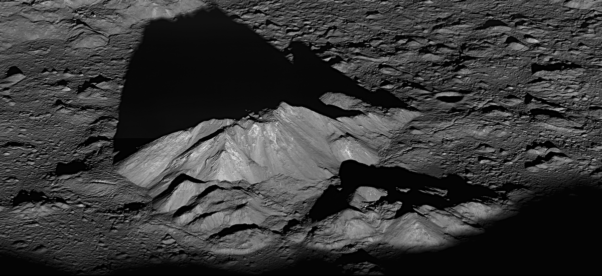
    Happy International Moon Day! Today we commemorate the first humans landing on the Moon and celebrate ongoing lunar exploration. 🌝 Lunar mapping and exploration have been part of USGS Astrogeology’s story from the beginning. Today, we continue that legacy through projects focused on mapping, landing site characterization, resource utilization, and fundamental research. From the footsteps that that first mapped the Moon to the instruments that reveal it in sharper detail than ever, Astrogeology’s research continues to advance our understanding of this world beyond Earth. 📸1: Photo of the lunar limb with text highlighting "Old data, new views" Image Credit: NASA 📸2: Unified Geologic Map of the Moon, produced using information from six Apollo-era regional maps and updated information from recent missions. Image Credit: USGS/LPI/SDSM 📸3: Oblique image of the central peak of Tycho crater taken by the Lunar Reconnaissance Orbiter satellite. Image Credit: LRO/Intuitive Machines 📸4: Simulated image of the JAXA SELENE Kaguya mission orbiting the Moon. Image Credit: JAXA #InternationalMoonDay #LunarLegacy #BootsOnTheMoon
    Download
    004181
  10. USGS Astrogeology✓@USGS_AstroGeo
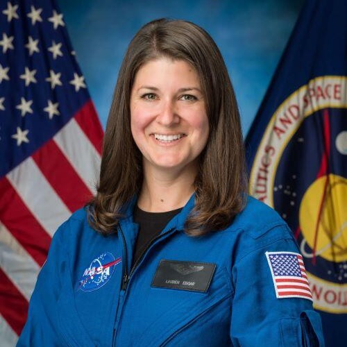
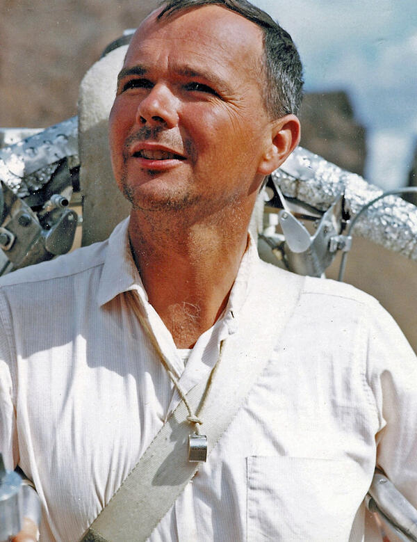
    From footprints into the future 🥾 Astronaut training is a big part of the lunar legacy at USGS Astrogeology, and Jim Skinner (pictured, right) continues building our geology program. Jim is leading USGS’s ongoing geology training contributions for NASA’s astronaut program and reconnected with some "old friends!" Jack Schmitt (pictured, center) was a geologist with Astrogeology until being selected as an Apollo astronaut and a member of the elite few who have walked on the Moon. The first scientist to do so, Jack is being followed by many more scientists, doctors, and engineers joining the astronaut corps to get their own view of the Moon. Lauren Edgar (pictured, left) has recently joined the astronaut candidate class, becoming the second Astrogeologist to join the astronaut corps. A Mars scientist, Lauren already has a strong background in planetary geology, having been a former astronaut trainer with Astrogeology herself! Learn from yesterday. Explore today. Shape tomorrow. 📸1: Photo of three Astrogeologists reconnecting: Lauren Edgar (left), current astronaut candidate class, Harrison (Jack) Schmitt (center), Apollo astronaut, and Jim Skinner (right), geologic mapper and USGS astronaut trainer! (Image credit: USGS) 📸2: Photo of astronaut candidate Dr. Lauren Edgar (Image credit: NASA) 📸3: Photo of Apollo astronaut Dr. Harrison "Jack" Schmitt (Image credit: NASA) #ArtemisGeneration #BootsOnTheMoon #Astrogeology
    Download
    025210
  11. USGS Astrogeology✓@USGS_AstroGeo
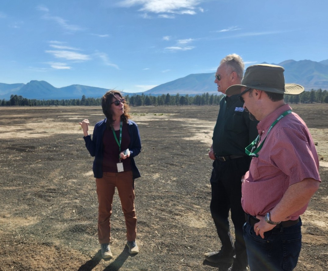
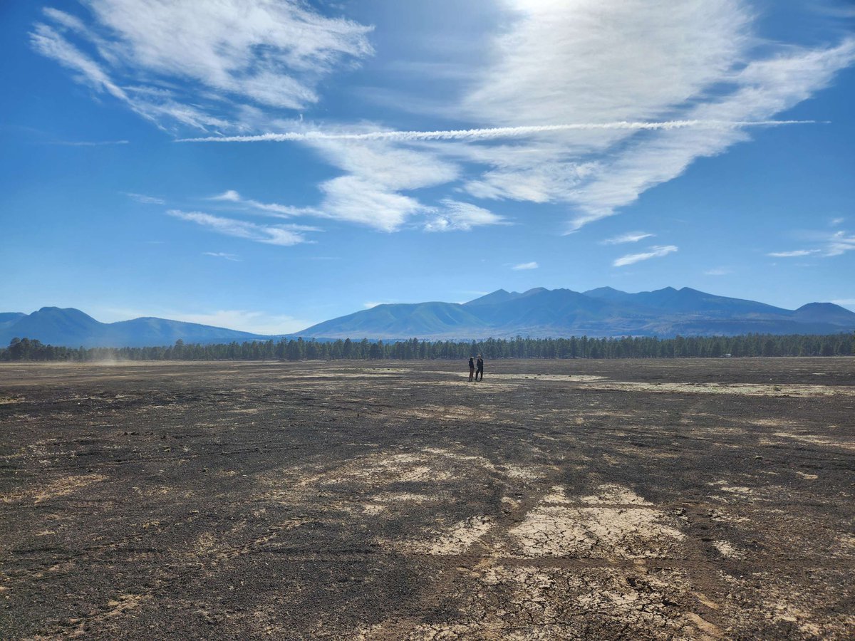
    Astrogeology and the Flagstaff Science Campus shares progress with USGS leadership 🚀 USGS Director Ned Mamula and members of the USGS Leadership Team recently visited the USGS Astrogeology Science Center and the Flagstaff Science Campus, where Director Mamula once worked, touring laboratories, meeting with employees, and learning about the innovative science and technology supporting planetary exploration. We even hosted several emeriti to reminisce and showcase all of the wonderful progress Astrogeology has made in the decades since our establishment in the 1960s. The Center conducts world-class research that connects Earth to our solar system. This includes hosting vast volumes of planetary imagery and data, developing software to process it, advancing landing site characterization and validation techniques, and supporting astronaut training tied to the nation’s lunar exploration legacy. The visit included: 🌟Hands-on demonstrations of cutting-edge planetary mapping software. 🌟Tours of historical mission artifacts and Meteor Crater drill cores. 🌟A visit to the Cinder Lake Crater Field, where astronauts from Apollo to Artemis train! Many of these resources are also available to the public through open-source data and software, collaborations with our partners, and public tours! Find out more about the visit in this news post and learn more about visiting the center at the link in our bio 👉 📸1: Research Physical Scientist Greg Vaughn (left) provides an engaging and informative tour of Astrogeology, starting with our Lobby. 📸2: Planetary Geographer David Mayer describes planetary photogrammetry with Dr. Mamula. 📸3: Amber Gullikson (center) discusses the use and restoration of the Cinder Lake Crater Field with Acting Deputy Regional Director Jim Leenhouts (left), Director Mamula (center right) and Acting Southwest Regional Director Darrin Thome (right). 📸4: Amber Gullikson (left) and Director Mamula (right) discuss cooperation and management of Cinder Lake, an ongoing project between the USGS and the Forest Service. #USGS #Explore
    Download
    001204
  12. USGS Astrogeology✓@USGS_AstroGeo
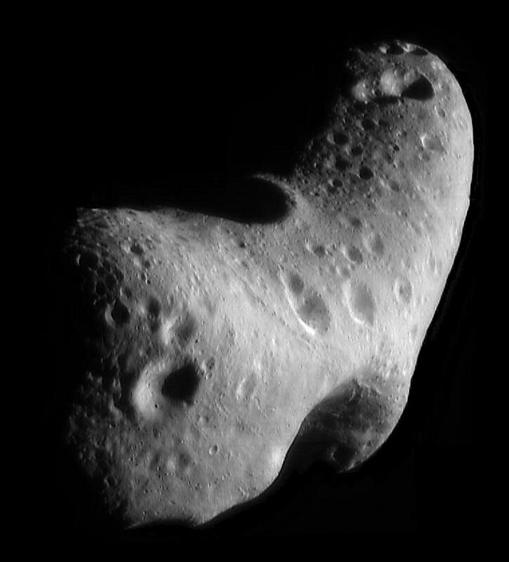
    Ready to rock your world? Asteroid Day lands June 30! ☄️ Asteroid Day is a day of global awareness of asteroids and planetary defense, held annually on the anniversary of the Tunguska impact event in 1908. USGS Astrogeology plays a critical role in planetary defense and near-Earth object (NEO) research by mapping, computer modeling, and analyzing the hazards of potential asteroid impacts. From historic events like the impacts that created Meteor Crater and Chicxulub to cutting-edge planetary defense research, there's a whole universe of knowledge to explore! 📸1: Astro researchers descend into Meteor Crater, learning more about the best-preserved impact crater in the world 📸2: Near-Earth Asteroid Eros, imaged by the spacecraft NEAR-Shoemaker, named for Astrogeology's founders #AsteroidDay #PlanetaryDefense
    Download
    015334
  13. USGS Astrogeology✓@USGS_AstroGeo
    Happy 17th birthday, Lunar Reconnaissance Orbiter! 🎂 Seventeen years ago, NASA’s Lunar Reconnaissance Orbiter (LRO) blasted off to map the Moon in unprecedented detail. The Lunar Crater Observation and Sensing Satellite (LCROSS) experiment launched with LRO, intentionally crashing into the Moon to investigate water ice and permanently shadowed craters. 🚀🌕 Since the launch, LRO's amazing images and global datasets have transformed how we explore, revealing safe landing zones, charting rugged terrain, and illuminating the Moon’s thermal and geologic story. And the story isn't done yet: USGS will continue working with LRO, expanding lunar mapping, hazard assessment, and data infrastructure to support future Artemis‑era missions and the next generation of lunar science. Here’s to the mission that turned pixels into pathways for future astronauts and discoveries! Happy launchiversary, LRO! 🎉 📸1: Launch of LRO and LCROSS in 2009: LRO begins its journey to redefine lunar exploration.” (Credit: NASA) 📸2: Tycho crater central peak from an oblique angle, showing a house-sized boulder resting at the top. (Credit: NASA/GSFC/Arizona State University) #LRO #Moon #Artemis
    Download
    15191.3K
  14. USGS Astrogeology✓@USGS_AstroGeo
    🚀 Exciting times at the Lunar and Planetary Science Conference this year! USGS Astrogeology just wrapped up another incredible scientific conference where experts from around the globe gathered to share groundbreaking discoveries and ignite new ideas. From engaging presentations to networking opportunities, it’s all about pushing the boundaries of planetary science. Lunar Mapping Program (LMAP) updates include new thermophysical and geomorphologic results and Planetary Geologic Mapping (PGM) updates are bringing increased accessibility with color vision deficient friendly color schemes. Software developments from our computer scientists include reaching users who are actively implementing our tools and providing new updates to the software to the community directly. Cutting-edge research in Mars and Moon exploration was also a hot topic - ever heard of Brain Terrain on Mars? Check out the article linked below for more highlights and behind-the-scenes moments! 🌌✨ 📸 Geographer Sonya Bogle, right, handing out maps, a hot commodity at LPSC. #LPSC2026 #LunarAndPlanetaryScienceConference
    Download
    014253
  15. USGS Astrogeology✓@USGS_AstroGeo
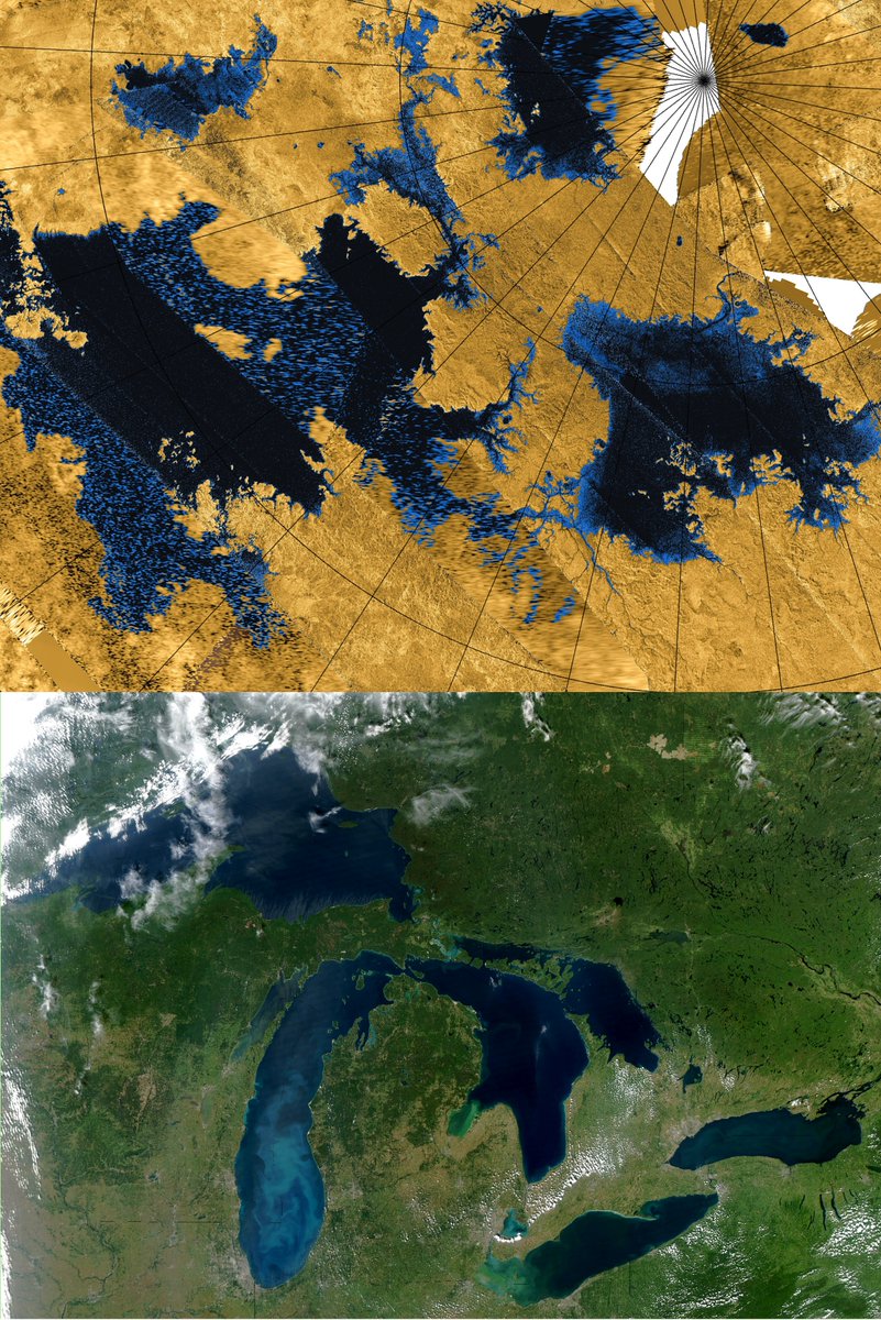
    Happy Earth Day from our nearest neighbor, the Moon! USGS Astrogeology studies all the planets in our solar system, and that includes ours too! These photos show a few of the different ways we research Earth features and processes. The now-famous "Earth Set" photo from Artemis II as taken from the Moon shows a new perspective of our home: a crescent-shaped planet from the lunar horizon. We may forget that Earth is a planet within our Solar System, but it's a teacher and a guide into the universe. In the field of Terrestrial Analogs, we compare features on Earth to those on other planetary bodies to learn more about how they formed. We also use Earth as a training ground, like with the Artemis astronauts descending into Meteor Crater for training - where else would they learn about features they may encounter on other planets and moons? We don't just use Earth as a model for the rest of the Solar System - we can learn so much about Earth from the Moon, other planets, and asteroids. The building blocks of our planet can be found in asteroids, and our Moon is made of the same stuff - we can learn more about Earth by looking to the skies! 📸1: Earth Set" photo from Artemis II showing a crescent Earth setting over the lunar limb, image credit: NASA 📸2: Dark blue lakes on Saturn's moon, Titan, (top) from Cassini compared to The Great Lakes (bottom) 📸3: Artemis astronauts hiking below the rim of Meteor Crater during astronaut training with USGS Astrogeology, image credit: NASA 📸4: Image mosaic of the Near-Earth Asteroid, Eros. Image credit: NASA/JPL/JHUAPL #EveryDayIsEarthDay #EarthDay
    Download
    105157
  16. USGS Astrogeology✓@USGS_AstroGeo
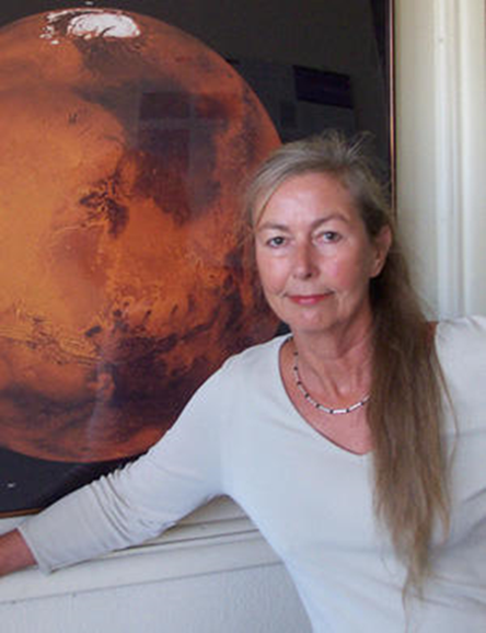
    USGS Astrogeology: Where Dreams take Flight 🚀 Since the 1960s, the hallways of the USGS Astrogeology Science Center have served as a bridge between the dusty trails of Earth and the silent craters of the cosmos. It is a place where “ground truth” meets celestial ambition—a sanctuary for those who believe that to understand the heavens, one must learn the language of the stones beneath our feet. Learn about Astrogeology's multigenerational dream making machine in our news: 📸1: Eugene Shoemaker, founder of Astrogeology, with a rocket pack 📸2: Astrogeology Scientist Baerbel Lucchitta in front of an image of Mars 📸3: Former Astrogeology scientist Lauren Edgar, now Artemis Astronaut Candidate #SpaceHistory #LunarLegacy
    Download
    112272K
  17. USGS Astrogeology✓@USGS_AstroGeo
    Will we see you at the Lunar and Planetary Science Conference this week? 🚀 Find the USGS Astrogeology booth March 16 - 20 in The Woodlands, TX to see what’s new: explore our latest research, grab one of our fresh map releases, and check out updated fact sheets showcasing exciting developments. Whether you’re reconnecting or meeting us for the first time, visit our booth to discover the innovative products and services we offer. What are you most excited to see at LPSC this year? 📸: Scientist Lori Pigue presenting at LPSC, 2018 #LPSC2026 #LPSC
    Download
    015342
  18. USGS Astrogeology✓@USGS_AstroGeo
    Artemis II is set to launch soon, delivering humans farther into the space than we’ve ever been! Although we won't land on the Moon this time, we’re getting set up for future landings and beyond! Learn more in this link: Image credit: NASA/Josh Valcarcel
    Download
    116297
  19. USGS Astrogeology✓@USGS_AstroGeo
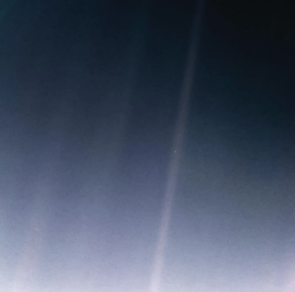
    Have you seen this famous image, called the "Pale Blue Dot" and wondered where it came from? In this news article we give a shout out to the Voyagers of 2026: The Voyager spacecraft, still exploring and pushing into new frontiers! Read about Voyager here:
    Download
    013235
  20. USGS Astrogeology✓@USGS_AstroGeo
    Happy Museum Selfie Day! Astrogeology has a few museum pieces and lots of displays to view if you find yourself in Flagstaff. Visit the link in our bio to schedule a tour, which are typically on Monday, Wednesday, or Friday at 10 am or by appointment. #MuseumSelfie
    Download
    014234
  21. Show more posts