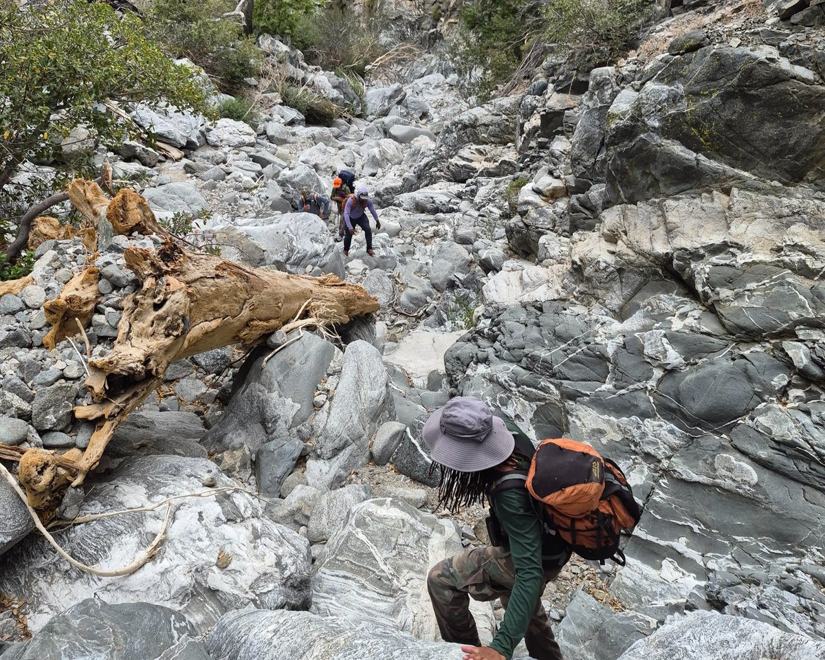

500 million years of Earth’s history are written in the rocks of the Sierra Nevada. 🗺️⛰️
The Sierra Nevada is one of the most iconic landscapes in the western U.S., a major mountain range stretching north to south along eastern California and into a small portion of western Nevada. Its rocks hold a story that spans more than 500 million years.
Now, the Sierra Nevada Earth Science Atlas brings that story into sharper focus.
Created through a collaboration between the @CAGeoSurvey and the USGS, the Atlas provides the most detailed geologic framework of the Sierra Nevada to date. Why does that matter? Detailed geologic maps help scientists and resource managers understand what lies beneath the surface, from the rocks and faults that shape the landscape to the mineral resources and geologic processes that affect the region.
From ancient ocean deposits and volcanic islands to massive mountain-building events, erosion and glaciation, the Atlas captures the geologic processes that shaped the Sierra Nevada we see today.
This initial release features a geologic map and descriptive text, with more components of the full Atlas coming soon. Upcoming map layers will depict carbonate rocks, fossils, metallic mineralization regions, and geochronology data, along with an associated report.
Explore the Atlas 👉
📽️ Video consisting of several clips of the Sierra Nevada Earth Science Atlas. The video pans and zooms across the map to show different geographic and geologic features. The video includes close-up views of map details, the legend, and the entire atlas.
619968.3K