Posts with #MakingMapsPretty

#MakingMapsPretty

Public posts on X that use #MakingMapsPretty.

Related hashtags

  1. Spiros Staridas@StaridasGeo
    Writing a Geometry Generator expression in #QGIS to simplify and smooth coastlines by adding equally spaced virtual segments. One parameter controls the level of generalization — perfect for adapting features to different map scales! #cARTography #MakingMapsPretty
    Download
    01371.5K
  2. Spiros Staridas@StaridasGeo
    Color Sampling in #QGIS is my new blog post about how to bridge the gap between vintage cartography and modern GIS, using a custom model to reverse-engineer and automate professional color palettes from historical maps! #cARTograpy #MakingMapsPretty
    32014313.3K
  3. Spiros Staridas@StaridasGeo
    To properly align the patches and labels of a graphic legend in #ArcGISPro I snap every element on a very dense modular grid, created by adding evenly spaced multiple guides with 10 points interval. Essential graphic design thinking in layout view. #cARTography #MakingMapsPretty
    Download
    02272.5K
  4. Spiros Staridas@StaridasGeo
    #MakingMapsPretty I’m developing a #QGIS tool to generalize and smooth a DEM, then generate a shaded relief and matching contour lines, all adapted to the selected level of generalization. Azimuth, height, Z-factor, and contour interval are controlled with a single click.
    Download
    62321715.5K
  5. Spiros Staridas@StaridasGeo
    I'm using the Color Vision Deficiency Simulator tool in #ArcGISPro to assess whether the colors on my map are accessible to people with color vision deficiencies or blindness! Strong value (brightness) contrast is essential for inclusive map design! #cARTography #MakingMapsPretty
    Download
    16441.5K
  6. Spiros Staridas@StaridasGeo
    Here I share an article I wrote about designing the paper map for #Spinalonga islet, a small island with a dense history. This commissioned project was about turning that complexity into something clear, usable and intuitive. #cARTography #MakingMapsPretty
    118793
  7. Spiros Staridas@StaridasGeo
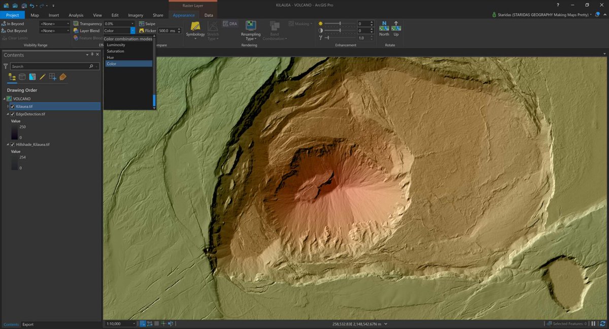
    The secret sauce to creating a truly realistic 3D terrain scene in #ArcGISPro is the Curvature layer! Placing it on top of the Shaded Relief layer, it enhances the details. Notice the difference with and without it as I rotate the view. #cARTography #MakingMapsPretty
    Download
    21610612.8K
  8. Spiros Staridas@StaridasGeo
    Spending the afternoon exploring different combinations of surface raster layers & light source settings to design this diorama in #ArcGISPro. Curvature & raster generalization are key to success. Commissioned project, about to kick off soon. #cARTography #MakingMapsPretty
    Download
    09893.6K
  9. Spiros Staridas@StaridasGeo
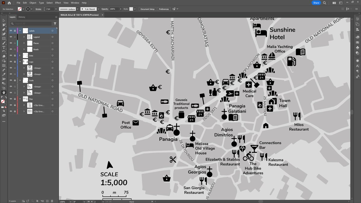
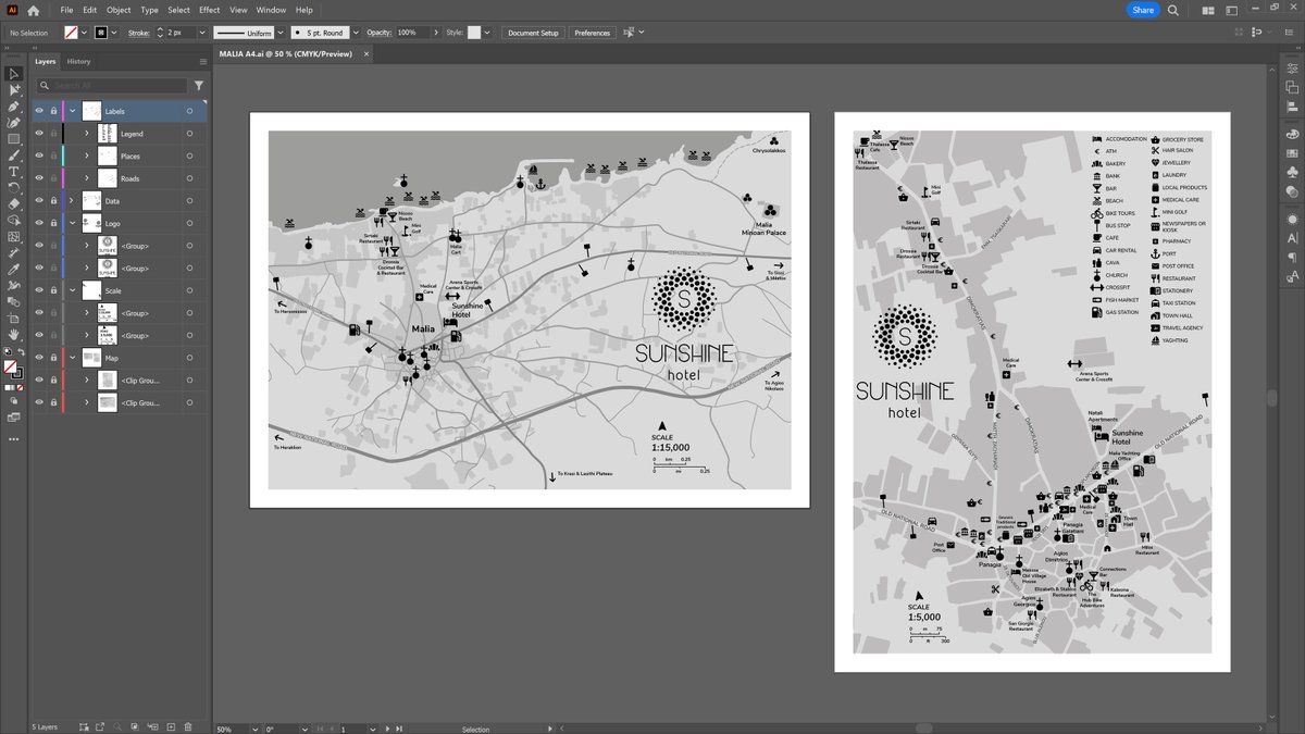
    My client asked for the redesign of a large wall paper map, I had made a couple of years ago, in order to print it in their office A4 machine. So, I adjusted scales in the required layout and turned maps to grayscale. Spatial data made with #QGIS #cARTography #MakingMapsPretty
    Download
    04363.1K
  10. Show more posts