Creating usable and accurate maps for your website can often be tricky.
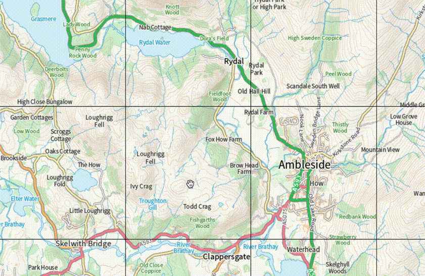
Find a list of useful tools for web mapping in our quick guide for #developers:
#OSDeveloper#WebMapping
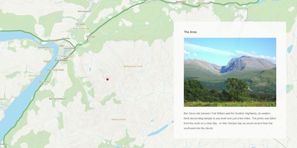
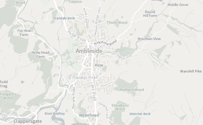
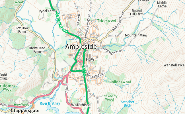
Last year we launched a new and improved Vector Tile API. Access this API via the OS Data Hub and start creating fast and versatile maps of GB👉 #OSDeveloper
The OS Downloads API makes a number of OS OpenData datasets available for automated download over the internet. Find out how via our #OSDeveloper article on @Medium:
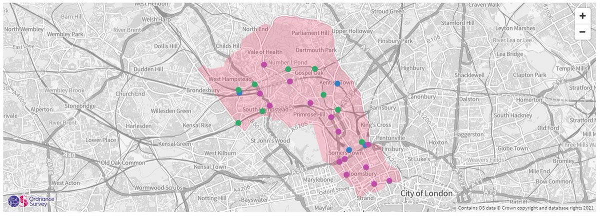
This #Python tutorial is for those wanting to discover where their favourite historical British figures once lived, worked, or were born.
Learn more:
#OSDeveloper#Geospatial
Today you may have seen that the new OS Data Hub has been launched 🚀
If you're a developer or data scientist looking to get started, we have some awesome new copy and paste code examples:
#OSDeveloper#WeAreOS
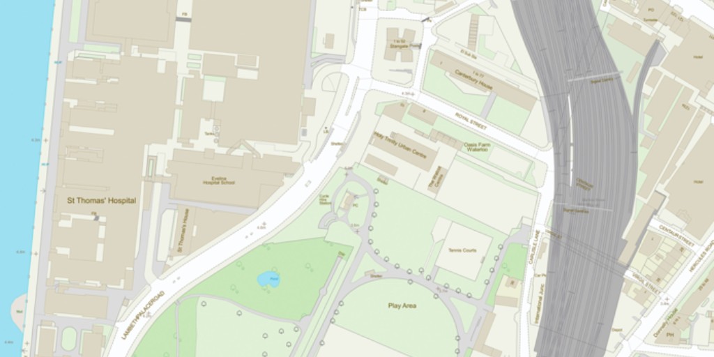
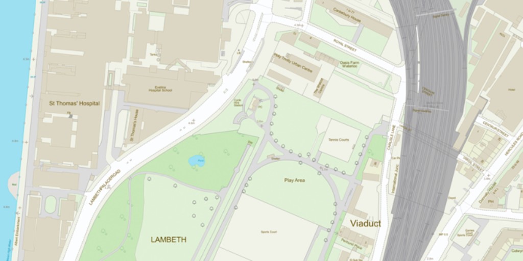
As the most comprehensive geographic dataset of GB, OS MasterMap Topography Layer is comprised of 500 million individual features. Access them via the OS Data Hub: #OSDeveloper
We've been publishing building heights for a while now, but with our new APIs they just got even easier to access and even easier to build into your web applications. Find out how: #OSDeveloper
As the most comprehensive geographic dataset of GB, OS MasterMap Topography Layer is comprised of 500 million individual features. Access them via the OS Data Hub: #OSDeveloper
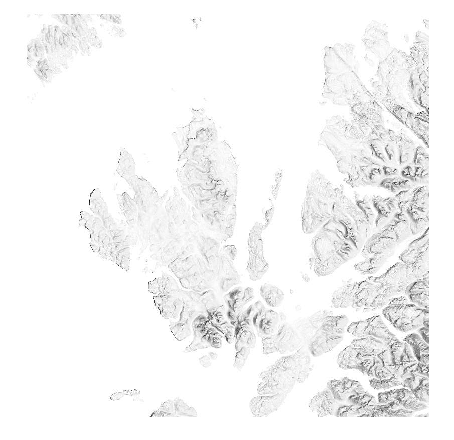
Did you know you can now download OS OpenData via our new OS Downloads API? OS Terrain 50 can be used to create hillshades, adding height and texture to your maps🗺️ #OSDeveloper
From today - new ways to access, share, and innovate with location data. Find out about our new data ordering platform and new products and APIs available now:
#PSGA#OSDeveloper
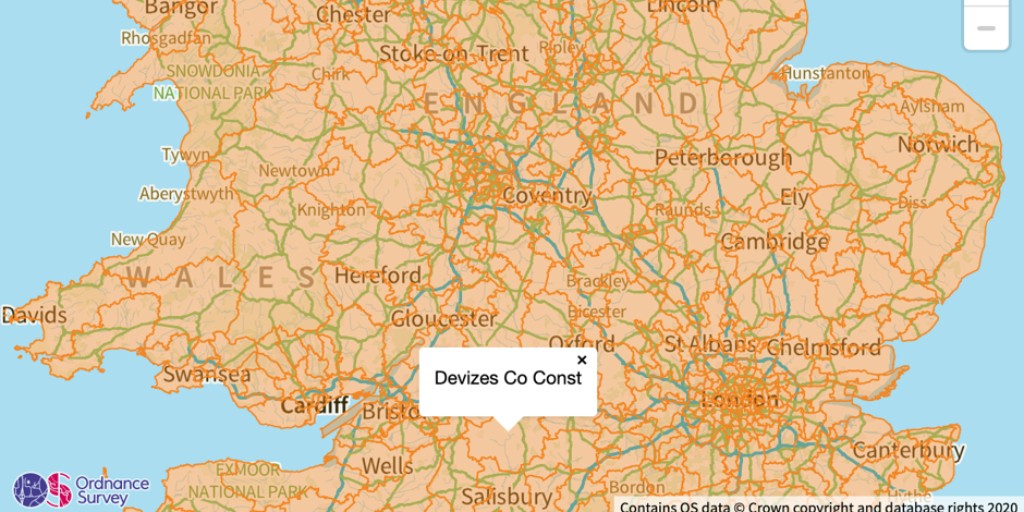
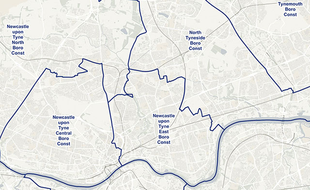
In this week's #OSDeveloper blog, discover the steps involved in creating your own vector tile overlay using the example of parliamentary constituency polygons👉
From the OS Data Hub to how our data has supported the Covid-19 response, we discuss a range of topics on @TheDataIQ's podcast.
Listen now: #OSDeveloper
Having mapped the Great British landscape for 229 years, we have continuously evolved our cartographic house styles. As our maps offer a range of functions, the OS Data Hub offers multiple styles. Discover them here: #OSDeveloper