Posts with #spatialanalysis

#spatialanalysis

Public posts on X that use #spatialanalysis.

Related hashtags

  1. Esri GIS Education@GISEd
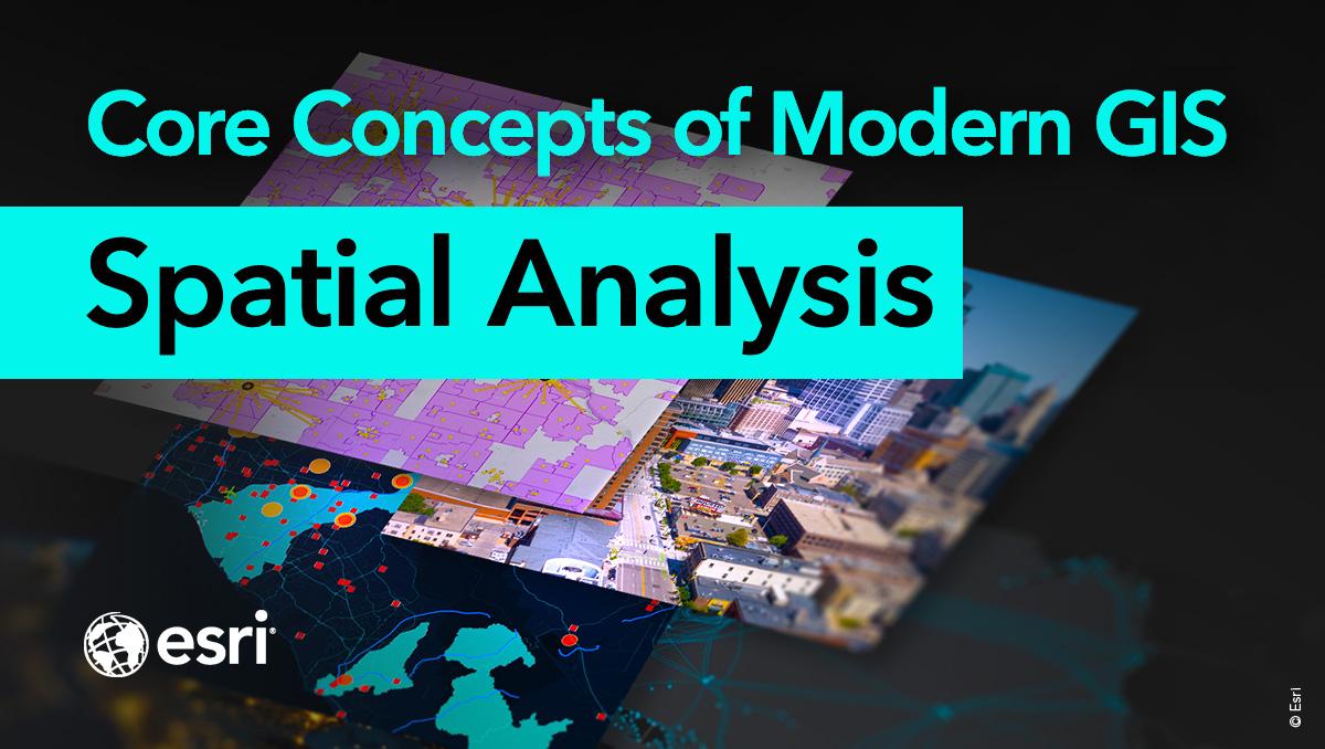
    Spatial analysis is a core concept of modern GIS. It's a method of analyzing and interpreting data that contains a geographic or spatial component using #GIS and other tools 📉 Use this resource for incorporating #spatialanalysis in your curriculum 👉
    Download
    09471.8K
  2. Ujaval Gandhi@spatialthoughts
    New #SpatialAnalysis Challenge: Can you figure out a workflow to connect each building's road-facing edge to the nearest point on the street segment? Use your favorite spatial analysis tool and sample data at Read the thread below for more details
    Download
    945210
  3. Ujaval Gandhi@spatialthoughts
    Ready for another #SpatialAnalysis challenge? Use your favorite spatial analysis tool to name each line using the nearest points from another layer. Post your solution in the comments. I'll post a #QGIS solution tomorrow. Get the test dataset from
    Download
    82395
  4. Coding Club@our_codingclub
    Looking to delve into the world of #spatialanalysis? Want to make more aesthetic #maps and figures for your research or dissertation? Then join us Wed 24th Feb 3-5pm UK time for our latest LIVE session on Spatial Maps and Data! Sign up below:
    Download
    339131
  5. Ujaval Gandhi@spatialthoughts
    #SpatialAnalysis Challenge: Given a multipolygon layer of building footprints, use your favorite spatial analysis tool to extract features that contain one or more holes. Try it out with this test dataset and post your solution in the comment!
    Download
    111878
  6. Kyle Walker✓@kyle_e_walker
    Voronoi polygons that dynamically re-draw in-browser as you drag markers around your @Mapbox map. All with R code. This was a fun one to put together, so I'm sharing the code here for you to try: #rstats #gis #spatialanalysis
    Download
    015672.8K
  7. Esri GIS Education@GISEd
    Spatial analysis is a core concept of #modernGIS ✔️ It's a method of analyzing and interpreting data that contains a geographic or spatial component using #GIS and other tools. . Use this resource for incorporating #spatialanalysis in your curriculum 🙌
    Download
    112463.1K
  8. Wahome🗺🛰@ItsWahome
    📌 Introduction to Spatial Analysis Spatial analysis is a crucial component of GIS that helps uncover hidden patterns and relationships in geographic data. Let's dive into some key techniques! #GIS #SpatialAnalysis 🌐📊
    Download
    2451368.7K
  9. Show more posts