Posts with #spatialdata

#spatialdata

Public posts on X that use #spatialdata.

Related hashtags

  1. Geoawesome@geoawesome_dgtl
    Satellites generate tons of data, but most workflows can’t keep up! 🌍 Spatial Data Cubes organize observations across space & time, making long-term environmental analysis faster and smarter. Learn how: #EarthObservation #SpatialData #Geoawesome
    Download
    05431.6K
  2. Geoawesome@geoawesome_dgtl
    🗺️ Fun fact: MiraMon GIS has been shaping geospatial science for 30 years, downloaded in 42 countries! It helps visualize, analyze, and digitize maps with tools like dynamic topology & full OGC API support. 👉 #Geoawesome #GIS #SpatialData #OpenSource
    Download
    03452.9K
  3. Esri@Esri
    It's a whole new frontier in analytics! This course explores the application of spatial data science to uncover hidden patterns and improve predictive modeling. Sign up for the (free!) #SpatialData Science course here: #ArcGIS @EsriTraining
    Download
    0937
  4. Luca Marconato@LucaMarconato2
    1/7 Here is a technical update for the latest release of the #SpatialData package from last week. We thank the core developers and contributors for helping us refine the framework, and the users for the precious feedback and discussions. GitHub repository:
    2339326.5K
  5. Francis Ndiritu@SurveyorNdiritu
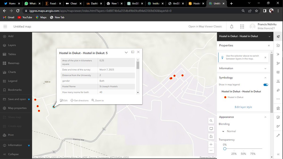
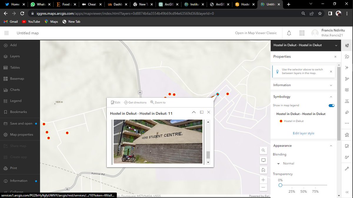
    Just had a fantastic reminder of the power of #ArcGIS Survey123!. This tool is a game-changer for creating survey forms and collecting valuable spatial data.📈 Love how it streamlines data collection, integrates with GIS, and enhances decision-making.🚀 #SpatialData #Surveying
    Download
    011301.6K
  6. CARTO@CARTO
    We are thrilled to announce the Spatial Data Science Conference is back, bigger and better than ever! It is the first event to bring together Data Scientists and Developers who specialize in working with #SpatialData. Join us for this unique event! #SDSC19
    0928
  7. Chiara Paniccia@paniccia_chiara
    We are looking for a motivated researcher interested in working on biodiversity data in the Alps⛰️Experience in spatial and multi-taxon data management is highly appreciate. The deadline is fast approaching on July 31st. The start date is flexible #Biodiversity #Alps #SpatialData
    Alpine Environment - Eurac Research @EuracAlpine
    We are hiring! Our group is looking for a #SpatialEcologist with experience in data management to join the project 'AlpsLife'🏔️! ✍️ Come work with us for 2y 🗓️Deadline July 31th ℹ️ @EUAlpineSpace #biodiversitymodelling #Geography
    07121.3K
  8. Felt@felt
    Meet Felt’s native H3 support. Just like all things we build, it really flies. Here are 3 reasons H3 in Felt is so unique ⤵️ #GIS #Mapping #SpatialData
    Download
    3113613.2K
  9. Jakub Nowosad@jakub_nowosad
    Polish Head Office of Geodesy and Cartography released its resources as open data at Available datasets include orthophotomaps,DEMs, ,geometries of cadastral parcels,3D models of buildings, and more #rspatial #spatialdata #opendata
    01348
  10. verygoodmaps@verygoodmaps
    More oblique views. Now I'll have to find out how to bring point data to Blender so I can overlay precise locations. I've managed to bring in shapefile but haven't been able to convert that into object. #gis #blender #spatialdata
    Download
    27654.6K
  11. UBDC@UrbanBigData
    Rafael H. M. Pereira, Head of Data Science @ipeaonline delivered an inspiring second keynote at #AGILE2024 on ‘Spatial Data Science for Just and Sustainable Cities.’ Tune into tomorrow’s keynote speaker online by registering here: #DataScience #SpatialData
    Download
    15673.9K
  12. AURIN@aurin_org_au
    We are delighted to announce that the number of datasets available through the #AURINPortal has now exceeded FIVE THOUSAND!! many thanks to our Data Partners and Network for their dedication to enabling access to #spatialdata for our research community!
    Download
    1511
  13. Luca Marconato@LucaMarconato2
    @LucaMarconato2
    5/9 Examples of using our @napari_imaging plugin to visualize and annotate a #SpatialData object in napari (sharing the screen with Sidecar). Thanks to the Zarr storage we can smoothly visualize many large images together. Credits to @WVierdag for his work on the lasso tool.
    Download
    28394.1K
  14. Luca Marconato@LucaMarconato2
    @LucaMarconato2
    6/9 With #SpatialData you can represent complex datasets and transfer annotations and derived metrics across spatial modalities. The utility of SpatialData is illustrated via multiple vignettes, including integrative analysis on a multimodal Xenium and Visium breast cancer study.
    Download
    14171.9K
  15. Matterport@Matterport
    Watch this clip with Matterport CEO @rjpittman as @TravisHoium asks how Matterport stays ahead and differentiates itself from the competition. Find out how our #AI solutions like Property Intelligence are made possible by our massive #spatialdata library:
    05151.1K
  16. Show more posts